Private pier construction: a Somerset County checklist
A private pier can look like a straightforward improvement: a walkway from the shore, a platform for tying up a boat, perhaps a few slips for family use.
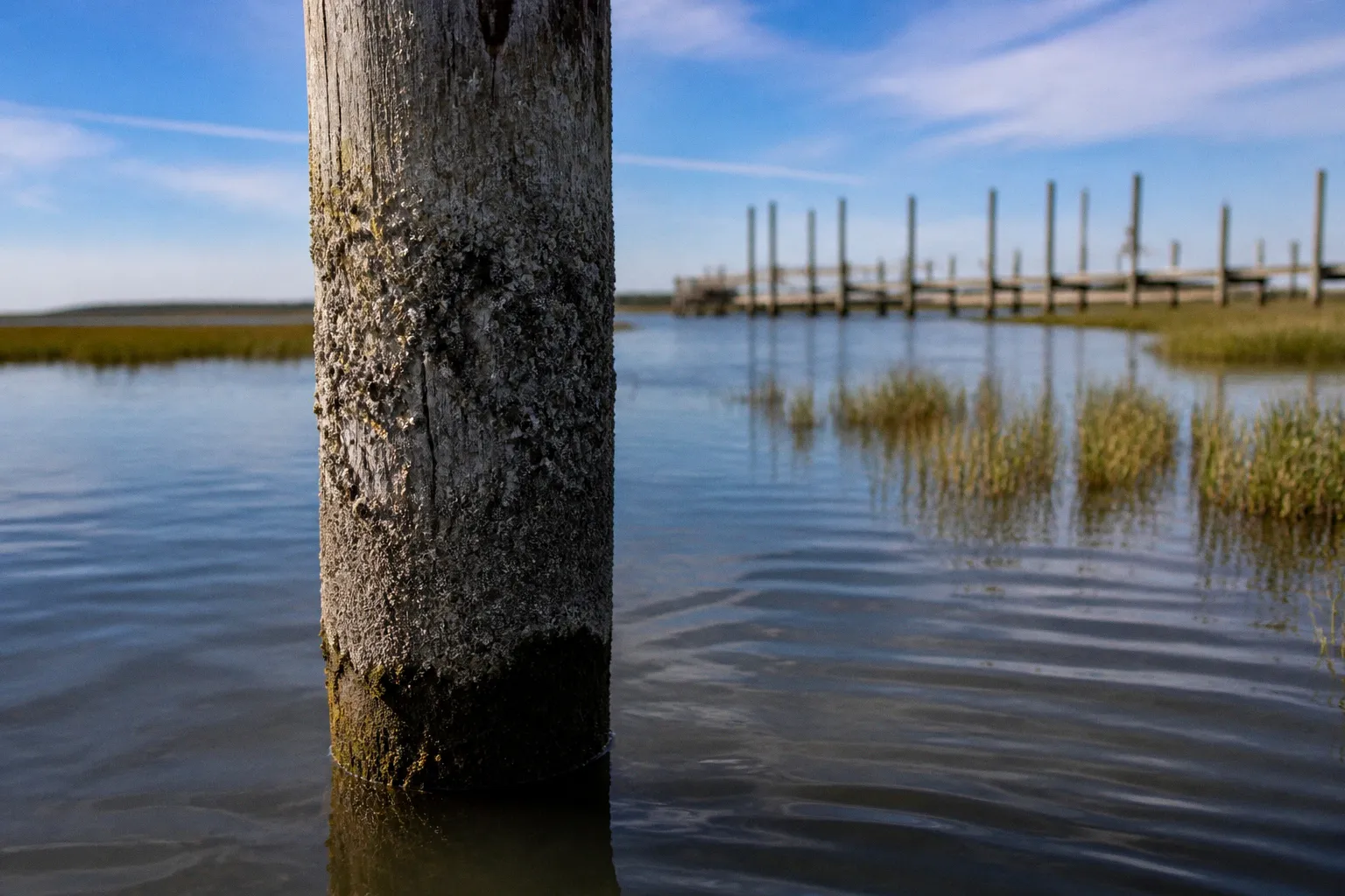
In Somerset County, however, construction near tidal water is reviewed through several overlapping systems. A project may involve Maryland tidal-wetlands requirements, Chesapeake Bay Critical Area rules, federal review by the U.S. Army Corps of Engineers, and a local building permit from the Somerset County Department of Technical and Community Services.
That overlap is what makes a Somerset County private pier permit checklist useful. A state approval is not a substitute for the county permit, and a county application does not resolve every state or federal environmental question. The safest approach is to treat the project as one coordinated process from the beginning, rather than as a series of separate forms discovered one at a time.
This is what the process means for your block, your shoreline, and your construction schedule: the pier must fit not only on your property, but also within the waterway, the wetland rules, the Critical Area framework, and the limits of the structure itself.
Start with the regulatory map
Before discussing materials, decking, or boat lifts, identify which authorities will review the work.
For a private residential pier in Somerset County, the primary parties are:
- The Maryland Department of the Environment, which regulates work in Maryland tidal wetlands and applies state standards for residential piers.
- The U.S. Army Corps of Engineers, whose federal jurisdiction may apply to work affecting navigable waters, wetlands, or other federally regulated resources.
- The Somerset County Department of Technical and Community Services, which handles local land-use and building-permit requirements.
- Local zoning and Chesapeake Bay Critical Area provisions, which shape where and how the structure can be placed on the parcel.
These reviews are connected, but they are not interchangeable. A tidal-wetlands license does not eliminate the need for a Somerset County building permit. Likewise, obtaining a county permit does not mean that state or federal authorization has been satisfied.
A useful first conversation is with the county department responsible for technical and community services. Bring a basic description of the property and the proposed work, including whether the project is a new pier, an alteration to an existing structure, or a replacement. The answer can affect what drawings, certificates, and supporting documents you will need.
What to establish before designing the pier
At the beginning, you want to clarify the physical and administrative facts that will control the rest of the application:
- Where the property meets tidal water or tidal wetlands.
- Whether the proposed work falls within Somerset County’s Chesapeake Bay Critical Area.
- Whether the existing shoreline includes vegetated wetlands or submerged aquatic vegetation.
- Whether the proposal is a new structure, an addition, or a repair.
- How the pier will be used and how many slips are proposed.
- Whether flood-elevation information or health-related certificates apply to the parcel.
- Which local zoning district and property-line setbacks govern the site.
Somerset County regulates land use within the Chesapeake Bay Critical Area, generally defined as land within 1,000 feet of tidal waters and tidal wetlands. That boundary is broad enough that many shoreline projects will need to be considered through the Critical Area lens, even when the homeowner thinks of the work simply as a dock improvement.
The county’s current building framework also matters. Somerset County adopted the 2021 International Building Code and International Residential Code, with local amendments, through Ordinance No. 1194 in November 2023. Your plans should therefore be prepared for the code framework currently used by the county, rather than relying on older drawings or assumptions from a previous project.
A pier permit is not one permission with several signatures; it is a coordinated review of the same shoreline project by different authorities.
Use the state dimensions as the starting point
Maryland’s residential pier standards give homeowners a practical design boundary. They do not replace site-specific review, but they help prevent a proposal from being oversized before it reaches the permitting stage.
Walkway width
For a residential pier, the main walkway over open water cannot exceed 6 feet in width. Where the walkway extends over vegetated wetlands, the maximum is narrower: 3 feet.
That distinction can change the shape of the project. A design that is acceptable over open water may not be acceptable when the same width crosses a vegetated wetland area. The transition between shoreline, wetland, and open water should be shown clearly in the site plan, not left for a reviewer to infer from a general sketch.
Pier length
Residential piers are generally limited to the lesser of:
- 150 feet from land, or
- One-quarter of the width of the waterway.
The phrase “whichever is less” is the part that matters most. A 150-foot design is not automatically acceptable simply because it stays below the maximum state length. If the waterway is narrow, the one-quarter-width limit may control.
This is also why a simple measurement from the house to the desired boat position is not enough. The design must be evaluated in relation to the waterway itself and the conditions at the shoreline. A shorter pier may be the more workable design if it avoids environmental conflicts or reduces the need for revisions.
Platforms
A residential pier platform may not exceed 200 square feet. It also cannot be built over submerged aquatic vegetation, commonly referred to as SAV.
SAV is an environmental constraint with direct design consequences. A platform cannot be shifted over a vegetated underwater area merely because that location seems convenient for boarding or tying up a boat. The plans should identify the proposed platform location and account for any known or mapped aquatic vegetation before the design is finalized.
Boat slips and small craft
Maryland residential pier rules limit a project to:
- Up to 4 boat slips, plus
- Up to 2 additional slips designated for jet skis or smaller personal watercraft.
The number of slips should be stated consistently across drawings, applications, and supporting descriptions. A plan that shows four slips in one place and additional full-size berths elsewhere can create confusion about whether the project exceeds the residential limit.
A compact table can help keep the design team, property owner, and permitting offices aligned:
| Pier element | Residential state limit or condition |
|---|---|
| Main walkway over open water | No more than 6 feet wide |
| Main walkway over vegetated wetlands | No more than 3 feet wide |
| Pier length | 150 feet from land or one-quarter of the waterway width, whichever is less |
| Platform | No more than 200 square feet |
| Platform location | Cannot be built over submerged aquatic vegetation |
| Boat slips | Up to 4 |
| Jet ski or small-craft slips | Up to 2 additional slips |
These are design ceilings, not a promise that every project within them will be approved. A pier can satisfy the basic dimensions and still require changes because of the parcel layout, Critical Area conditions, wetlands, property-line relationships, or federal review.
Chesapeake Bay Critical Area rules affect the shoreline, not just the water
A common mistake is to think of the pier as beginning at the water’s edge. For permitting purposes, the landward portion of the project can be just as important.
Because Somerset County’s Critical Area includes land within 1,000 feet of tidal waters and tidal wetlands, the review may involve the shoreline buffer and the way the proposed construction relates to existing development, vegetation, drainage, and erosion conditions. The exact local property-line setback for a private pier cannot be stated responsibly without examining the parcel’s zoning district and any applicable variance or site-specific records.
That uncertainty is not a reason to guess. It is a reason to obtain the parcel-specific zoning information before ordering final construction drawings.
Questions to resolve for the Critical Area review
When navigating the board and county review process, ask the design professional or county staff to help identify:
- Whether the parcel lies within the Critical Area and which mapped designations apply.
- Where the 100-foot Critical Area buffer or other shoreline management constraints may affect the work.
- Whether existing development changes how the buffer is treated.
- Whether the proposal requires a Chesapeake Bay buffer management plan or related site documentation.
- How stormwater from landward improvements will be handled.
- Whether the shoreline has erosion, flooding, or wetland conditions that influence the pier alignment.
- Whether the project needs a variance, exemption, or additional review because of its placement.
The phrase “Chesapeake Bay buffer management plan pier” can sound like a narrow technical requirement, but the underlying question is practical: how will the project protect the shoreline area that filters runoff and supports the coastal environment?
A pier may have a small footprint compared with a house or driveway, yet the access route, stairs, grading, equipment staging, and related improvements can affect the landward buffer. The application should describe the full project, not only the boards over the water.
The strongest pier application explains the relationship between the structure and the shoreline; it does not treat the shoreline as an empty space between the house and the dock.
Keep environmental constraints visible in the plans
If the project is near vegetated wetlands or SAV, the plans should make those features easy to identify. A reviewer should not have to reconstruct the environmental setting from a property-line sketch and a few dimensions.
Your site plan may need to show, as applicable:
- Property boundaries and proposed setbacks.
- The shoreline and tidal-water edge.
- Wetland areas, including vegetated wetlands.
- The location of the proposed pier, platform, and slips.
- The relationship of the structure to neighboring properties and the waterway.
- Flood-elevation information where required.
- Access routes and other construction-related features.
Do not describe the platform as a general “viewing area” if the drawing places it over SAV. The state rule is direct: residential platforms cannot be built over submerged aquatic vegetation. The better solution is to locate the platform during design, before the application is submitted, rather than discovering the conflict after review has begun.
Plan around contractor licensing requirements
Maryland’s tidal-wetlands rules also govern who may perform the marine construction.
Work involving construction or alteration within Maryland tidal wetlands must be performed either by the property owner directly or by a professional licensed through the Maryland Marine Contractors Licensing Board. This is not an area where an informal arrangement with an unlicensed third party is a safe shortcut.
When speaking with a prospective marine contractor, ask for information about:
- The contractor’s Maryland marine-contractor license.
- Experience with tidal-wetlands construction in Maryland.
- Familiarity with Somerset County’s local permit process.
- Responsibility for preparing or coordinating plans.
- The division of responsibility between the owner, contractor, engineer, and permitting offices.
- How the contractor will protect wetlands and avoid SAV during construction.
- Whether the contractor will coordinate required inspections and revisions.
Licensing does not transfer the homeowner’s responsibility to understand the project. It does, however, help ensure that the person performing specialized marine work is operating within the state’s requirements.
The contract should also describe the approval sequence. If the contractor begins construction before all required authorizations are in place, the property owner may still face the consequences of unpermitted work. A low bid that excludes permitting coordination can become expensive once redesign, delay, or corrective work enters the picture.
Build the Somerset County application package carefully
The Somerset County Department of Technical and Community Services requires a Residential Building Permit Application for dock and pier projects. The application package includes more than a basic form.
The county requires:
- Two sets of construction plans.
- A detailed site plan showing property-line setbacks.
- Applicable health certificates.
- Applicable flood-elevation certificates.
The exact documents will depend on the property and proposal, so the right approach is to confirm the current county submission requirements before finalizing the package. Local permit fees dedicated specifically to residential pier construction are not established in the available information, which means applicants should request the current fee schedule rather than rely on an older estimate from another shoreline project.
What the construction plans should communicate
Good drawings answer the questions a reviewer will have before those questions become correction notices. At minimum, the plan set should be internally consistent and should clearly identify:
1. The parcel and its boundaries.
Show the property lines, the proposed structure, and the relevant setbacks. Do not assume that the pier can be centered on the house or aligned with an existing path if that placement affects neighboring parcels or zoning compliance.
2. The pier dimensions.
Identify the walkway width, total length, platform size, and the locations of all slips. Separate the portion over open water from any portion over vegetated wetlands.
3. The environmental setting.
Show wetlands, tidal water, and any known SAV constraints. If the platform or walkway changes direction to avoid a sensitive area, make that design choice apparent.
4. The landward connection.
Include stairs, ramps, access paths, grading, and any related improvements that are part of the project. The shoreline connection can affect Critical Area and stormwater review.
5. Flood and health documentation.
Include the certificates that apply to the parcel and project. If a document does not apply, confirm that position with the county rather than simply omitting it without explanation.
6. Construction details.
Provide enough information for the reviewing offices to understand how the structure will be supported, accessed, and built without expanding the project beyond the submitted footprint.
A clean plan set is not merely a presentation advantage. It reduces the chance that one agency is reviewing a different version of the project from another.
A practical sequence for moving from idea to approval
The following order will usually make the process easier to manage.
1. Define the project in plain language
Write down what you want to build: a new residential pier, a replacement, a platform, a specific number of boat slips, or a combination of these. If the scope is vague, the drawings and applications will drift.
2. Confirm the site conditions
Determine whether the parcel touches tidal water, tidal wetlands, vegetated wetlands, or areas with SAV. Establish the property boundaries and identify the applicable local zoning district.
3. Check the dimensional envelope
Before investing in detailed drawings, compare the concept with the Maryland residential limits:
- Walkway width of no more than 6 feet over open water.
- Walkway width of no more than 3 feet over vegetated wetlands.
- Length limited to 150 feet or one-quarter of the waterway width, whichever is less.
- Platform area limited to 200 square feet.
- No platform over SAV.
- Up to four boat slips, with up to two additional slips for jet skis or smaller personal watercraft.
4. Coordinate the state and federal review
Contact the appropriate offices regarding Maryland tidal-wetlands requirements and U.S. Army Corps of Engineers review. Ask what authorization is needed for the specific shoreline and waterway, rather than assuming that a permit used on another property will apply to yours.
5. Select a qualified marine contractor
If someone other than the property owner will perform the marine work, confirm that the professional is licensed through the Maryland Marine Contractors Licensing Board. Make permitting responsibilities part of the written agreement.
6. Prepare the county package
Complete the Residential Building Permit Application and assemble two sets of construction plans, the detailed site plan, and any applicable health or flood-elevation certificates.
7. Reconcile every version of the project
Compare the county drawings with the state and federal submissions. The pier length, platform size, number of slips, alignment, and property-line relationships should match everywhere.
8. Wait for all required approvals before construction
Do not treat one approval as permission to begin the entire project. State, federal, and local requirements remain separate, and construction should wait until the required authorizations and county permit are in place.
Common planning mistakes that create avoidable delays
Most problems in private pier applications are not caused by one complicated rule. They come from small mismatches between the concept, the site, and the paperwork.
Designing to the maximum length automatically
The 150-foot figure is a ceiling, and the one-quarter-waterway-width rule may result in a shorter allowable pier. Designing to the maximum before measuring the waterway can lead to a complete redesign.
Treating the platform as separate from the pier
A platform counts toward the residential design limits and cannot be placed over SAV. It should be evaluated as part of the full structure, not added after the walkway and slips have already been planned.
Measuring only the open-water portion
A walkway over vegetated wetlands has a different maximum width from a walkway over open water. The plan should distinguish those areas instead of applying the 6-foot standard across the entire structure.
Assuming the county permit covers the wetlands work
The Somerset County building permit and state or federal environmental approvals serve different purposes. The application process works best when they are coordinated from the start.
Leaving setbacks off the site plan
The county requires a detailed site plan showing property-line setbacks. A pier or associated access improvement may not be evaluated properly if the property boundaries are missing or approximate.
Hiring the contractor first and asking about licensing later
Marine construction in tidal wetlands must be performed by the owner or a licensed marine professional. Confirm the license before work begins and before the contract is finalized.
Relying on an old permit or a neighbor’s design
A nearby pier may have been built under different rules, on a different zoning parcel, or before current building-code amendments. Somerset County’s adoption of the 2021 IBC and IRC with local amendments means older examples should not be treated as current approval templates.
The most useful way to think about approval
A private pier is both a structure and a shoreline intervention. That is why the review looks at dimensions, wetlands, waterway width, buffers, licensing, flood information, property lines, and construction plans at the same time.
For our community, the goal is not simply to get a dock approved as quickly as possible. It is to create a project that works for the property owner while respecting the coastal systems shared by neighboring homes, waterways, and the wider Chesapeake Bay watershed. When the design is modest, the site conditions are understood, and every authority receives the same clear information, the process becomes much more navigable.
Use the Somerset County private pier permit checklist as a coordination tool: define the project, map the shoreline constraints, confirm the Maryland dimensions, identify the required state and federal reviews, hire a properly licensed marine contractor, and submit a complete county application. That order gives you a clearer path from a shoreline idea to a pier that can be built responsibly and maintained with confidence.