Living shoreline permit errors in Somerset County
Shoreline Permit Errors in Somerset County…
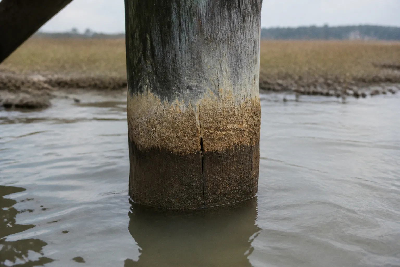
Somerset County loses measurable marsh acreage every year to erosion along the lower Chesapeake and its tidal creeks — and a substantial share of those avoidable losses traces back to permit applications that should never have been filed in the first place. Property owners shell out for engineering surveys, then watch their living shoreline projects stall in the Joint Permit Application queue for months because someone skipped a tidal wetland delineation, filed the wrong parcel coordinates, or treated the Critical Area review as an afterthought. The fix isn't complicated. It's paperwork done right the first time.
This is a working guide to the permit failures I see over and over on the Eastern Shore — the documentation gaps, the tier misclassifications, the botched site assessments that turn a six-month review into an eighteen-month slog. If you're sitting on a shoreline stabilization project in Somerset County, the difference between approval and denial usually lives in the details nobody wants to dig up.
The Joint Permit Application Trap Most Somerset Projects Fall Into
Living shoreline permits in Somerset County don't go through one office. They go through three: Maryland Department of the Environment for the Tidal Wetlands license and Waterway Construction permit, the US Army Corps of Engineers Baltimore District for federal authorization, and the Chesapeake Bay Critical Area Commission if the project sits inside the Critical Area boundary — which most waterfront parcels in Somerset do.
These reviews don't run in parallel the way the Unified Public Notice suggests. The Critical Area Commission typically wants to see consistency with local Somerset County Critical Area program requirements before MDE signs off. The Corps wants state water quality certification before issuing its own authorization. A missing piece in one pile stops the others cold.
The error I see most often: applicants submit a Joint Permit Application to MDE and assume the other agencies get looped in automatically. They are — but only if your project data lets each reviewer find their lane. Submit a project description that omits the Critical Area designation or fails to mention tidal wetlands on-site, and MDE will forward the file, but the Critical Area reviewer will kick it back with a request for additional information. That's your 90-day clock starting over.
A living shoreline project in Somerset County lives or dies on three coordinated reviews. Miss one piece of data the Critical Area Commission needs, and MDE's clock doesn't even start.
Site-Specific Data Errors That Stop a Somerset Project Cold
Parcel Coordinates and Tax Map References
The first thing the Somerset County Planning Office checks is whether your project description matches the tax map. Wrong parcel ID, wrong lot number, or shoreline coordinates plotted against the wrong State Plane grid — any of these triggers a return for correction before technical review even begins.
Pull your deed. Pull the most recent plat. Pull the tax record from the Maryland Department of Assessments and Taxation. Cross-reference the legal description against the GIS layer Somerset County publishes. The county GIS is the reference of record, and if your coordinates fall outside the parcel boundary by even a few feet, the reviewer will flag it.
The Datum Conversion Most Surveyors Get Wrong
Shoreline stabilization in tidal waters means every elevation reference ties back to Mean High Water at the project site. Maryland's regulatory agencies work in NAVD 88. Submit elevations in NGVD 29 and every number in your design package needs to be re-verified before the reviewer can even check it against the standard. That's not a quick conversion — depending on the project location, the offset between NGVD 29 and NAVD 88 varies, and a simple spreadsheet lookup without a local benchmark won't cut it.
Anchor your survey to a National Geodetic Survey tidal benchmark or an established local tidal datum reference. Document the benchmark identification number in the surveyor's report. Submit it without that documentation and the reviewer will assume the elevations are unsupported.
Shoreline Length and Sill Footprint
The sill footprint gets calculated against the linear footage of shoreline you're treating. Underestimate the shoreline, and the sill footprint gets flagged as oversized — which in the Critical Area is a hard problem because the Commission looks at impervious surface coverage and habitat conversion. Overestimate the shoreline, and you're leaving permitted coverage on the table, which usually just wastes project budget but sometimes signals a sloppy review chain.
Get the linear footage measured on the ground, with a tape or GPS, not from the tax map. The tax map is approximate. The shoreline is what it is.
The Critical Area Tier Misclassification That Wrecks a Project
Most Somerset County waterfront parcels fall inside the Chesapeake Bay Critical Area, which puts them under a tiered system that controls what kind of shoreline work gets permitted and how. The error I keep seeing: applicants assume their property sits in a Resource Conservation Area when it actually sits in a Limited Development Area or Intensely Developed Area designation. Each tier has different buffer requirements, different setbacks, and different standards of review.
The Critical Area Commission maintains the official maps, and Somerset County's Critical Area program has its own implementation layer on top. If your shoreline sits within 1,000 feet of tidal waters or tidal wetlands — and most do — you're in the Critical Area. The buffer from the landward edge of tidal wetlands or the mean high water line, whichever is more landward, is generally 100 feet minimum, with expanded buffer requirements in the more sensitive designations.
If your surveyor didn't pull the Somerset County Critical Area map for your specific parcel, your project is being designed against the wrong standard.
The fix: request the Critical Area map from Somerset County Department of Technical Services before your engineer starts drawing. It's not optional context — it's the regulatory baseline for the entire review.
Biological Survey Gaps That Trigger Delays
Submerged Aquatic Vegetation Surveys
MDE requires SAV surveys for any in-water work in the Chesapeake and its tidal tributaries. The survey window is the growing season — generally April through October, depending on the species and salinity zone of the project site. Submit a JPA with a winter SAV survey and the reviewer will send it back for re-survey during the appropriate window. That alone can add four to six months.
The surveyor needs to identify species, density, and coverage within the project footprint plus a defined buffer. Submit a bare-bones "no SAV observed" letter without the survey methodology, and MDE will assume the survey wasn't done at all.
Tidal Wetland Delineation
A tidal wetland delineation follows the USACE Wetland Delineation Manual and the Regional Supplement for the Atlantic and Gulf Coastal Plain. Tidal wetlands in Somerset — low marsh, high marsh, scrub-shrub — need to be flagged, mapped, and quantified on the project site. The delineation has to be current; MDE and the Corps typically won't accept a delineation that's several years old without a re-verification letter from a qualified delineator.
Skip the delineation, or have it done by someone not qualified, and the project gets flagged for inadequate resource mapping. That's a stop-work order on the entire review chain until a qualified delineator redoes the work.
Coordination Failures With Somerset County and the State
Neighbor Notification and Adjacent Property Documentation
Living shoreline projects that touch adjacent tidal wetlands — and most do, because they treat contiguous shoreline — require documented notification to neighboring property owners. The notification has to follow Maryland's specific format and include the project description, the construction footprint, and the affected parcel information. Skip the notification, send it to the wrong address, or fail to file the affidavit of service with MDE, and the review stalls.
The Pre-Application Meeting That Isn't Optional
Somerset County's Department of Technical Services and the Critical Area Commission both offer pre-application meetings. Skipping them is the single most expensive mistake a property owner can make. The pre-app meeting is where you find out whether your project is even approvable in its current form. It costs nothing. It saves months of review churn.
The meeting covers:
| Topic | What You Need to Bring |
|---|---|
| Project concept sketch | Site plan with proposed footprint, parcel boundaries, MHW line |
| Existing conditions | Photos, existing structures, current erosion pattern |
| Design intent | Type of living shoreline (sill with marsh, offshore breakwater, etc.) |
| Buffer impacts | Any proposed disturbance within the Critical Area buffer |
| Resource concerns | On-site wetlands, SAV, rare species habitat |
Walk into the pre-app meeting without this material and you'll spend the meeting being told what to bring for the next one. That's two months gone.
Common Fixes Before Resubmission
When a project comes back from MDE with a "request for additional information" letter, the clock doesn't reset the way most applicants think. MDE's review period is tolled while the applicant responds. A vague or incomplete response keeps the clock tolled. A complete response that addresses every reviewer comment restarts the technical review.
The practical move: respond to each comment with the exact document or revision requested. Reference the comment number. Submit the response as a single package with a cover letter that maps responses to comments. Don't bury new information in narrative text — the reviewer is checking against their comment letter, not reading your essay.
For Somerset projects specifically, the local coordination layer means your response package often has to be reviewed by Somerset County Technical Services again before MDE will accept it. Get the county reviewer to sign off on your response before submitting to MDE. That single coordination step shaves weeks off the second review cycle.
What Actually Gets Projects Approved
Living shoreline permits get approved in Somerset County when the application package treats the reviewers as professionals who don't have time to chase missing data. That means:
- A complete Joint Permit Application with every signature line filled in
- A current tidal wetland delineation on a USGS quad or equivalent base map
- An SAV survey completed during the appropriate seasonal window
- Site-specific engineering stamped by a Maryland-licensed Professional Engineer
- Critical Area consistency documented with reference to the Somerset County Critical Area Program
- MHW elevations tied to NAVD 88 with the source benchmark identified
- Pre-application meeting minutes attached
- Adjacent property notifications with affidavits of service
That's not a wish list. That's the minimum viable package. Submit less, and your project will sit in the queue while the reviewer waits for you to figure out what's missing.
The shoreline is eroding whether or not the permit moves. The permitting system doesn't care about your timeline — it cares about whether the work meets the standard. Get the standard right on paper before you mobilize a single cubic yard of fill, and the living shoreline goes in on schedule. Get it wrong, and you're funding a re-design with no guarantee the second attempt fares any better.