Maryland agricultural land preservation: application steps
Under Maryland Agriculture Article § 2-513, a landowner cannot assume that an agricultural preservation easement covers only the fields that are convenient to preserve.
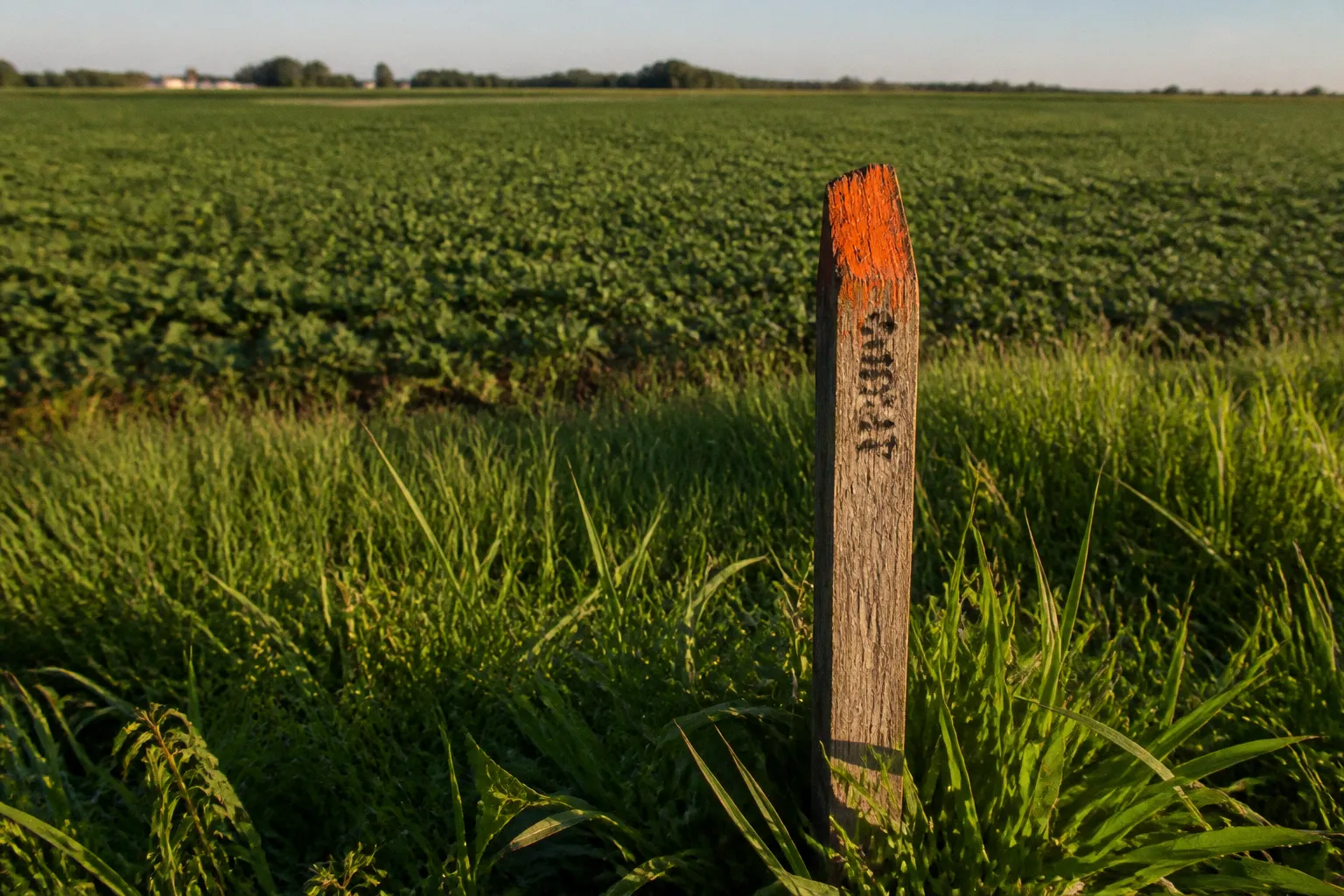
The MALPF application generally addresses the entire contiguous acreage of the parent tract. Acreage may be excluded only through approved lot-exclusion provisions or with authorization from the Maryland Agricultural Land Preservation Foundation.
For Somerset County landowners, the Maryland agricultural land preservation easement application is therefore a land-use transaction, not a routine grant submission. Eligibility, county review, soil documentation, appraisal, title clearance, conservation planning, and state approval operate as linked stages. A defect at one stage can delay or prevent settlement at the next.
The complete process commonly takes approximately 18 to 24 months from initial submission through final settlement. A county ranking or preliminary review does not guarantee that MALPF will make an offer. The final result depends on county priorities, appraisals, available funding, and approval by the Maryland Board of Public Works.
Eligibility requirements and land suitability standards
MALPF was established in 1977 to preserve agricultural land and woodland by purchasing development rights. The landowner retains ownership of the property, but the recorded easement permanently restricts development in accordance with the program’s terms.
The first stage is a property-level eligibility review. The principal standards are not interchangeable. Meeting one condition does not cure a failure under another.
Minimum acreage and tract configuration
The property generally must contain at least 50 contiguous acres. Contiguity matters. A landowner cannot necessarily combine detached fields separated by unrelated ownership, public rights-of-way, or intervening parcels and treat them as one qualifying tract.
The application covers the contiguous acreage of the parent tract. This has several practical consequences:
- The applicant must identify the full parent tract, not only the portion currently used for crop production.
- Woodlands and other qualifying acreage may be included within the easement area.
- Acreage cannot be withheld arbitrarily to preserve a future development option.
- Any proposed lot exclusions must comply with the applicable statutory provisions and receive the required approval.
- The deed, survey, tax records, and existing subdivision information must describe the same land configuration.
A parcel that appears to contain sufficient acreage on a tax map may still require survey or title analysis before the county can evaluate the application. Parcel identification errors create avoidable delays because the easement must ultimately be recorded against a legally defined property interest.
Location outside the 10-year water and sewer plan
The property generally must be outside the county’s 10-year water and sewer service area. This criterion connects agricultural preservation directly to comprehensive planning and infrastructure policy.
A parcel located near a planned water or sewer extension requires closer review. The relevant issue is not simply whether a public line currently reaches the property. The analysis concerns the county’s designated service planning horizon and the property’s status under the applicable water and sewer plan.
For Somerset County, this means the applicant should obtain the current planning designation before investing in a full application package. A property’s agricultural use does not override a conflicting growth-area designation. Likewise, the absence of existing utility service does not establish that the parcel is outside the relevant service area.
Soil classification
At least 50 percent of the property generally must contain Class I, II, or III soils. Soil classification is a technical eligibility standard. It is not determined by visual inspection, current crop yield, or the landowner’s description of the farm.
The analysis should account for:
- The acreage and location of qualifying soils.
- The source and date of the soil mapping.
- Whether the mapped soil areas correspond with the legal parcel boundaries.
- Whether wetlands, woodland, drainage areas, or other features affect the usable agricultural configuration.
- Whether the soil information supports the acreage claimed in the application.
The 50 percent threshold applies to the property evaluated under the program. It should not be treated as a statement that every field must contain prime soils. The county and state review process determines how the mapped soil data will be applied to the tract.
A qualifying farm is defined by acreage, planning status, soils, and legal configuration together. Current agricultural use alone is insufficient.
Navigating the county and state application cycle
The MALPF application process proceeds through local and state review. County participation is not administrative decoration. The county advisory structure evaluates the property within the local agricultural preservation program and may rank applications against competing parcels.
Local submission deadlines are established by the county. The annual deadline is often around April 1 for entry into the upcoming fiscal-year cycle, which begins July 1. The exact Somerset County deadline must be confirmed for the applicable cycle. A late application may be moved to a later cycle even if the property otherwise satisfies the basic eligibility standards.
The process can be organized into the following sequence:
1. Confirm the planning and acreage prerequisites.
Determine whether the parent tract meets the general 50-acre standard, whether the land is outside the 10-year water and sewer service area, and whether the soil composition appears to meet the 50 percent Class I–III requirement.
2. Assemble ownership and parcel documentation.
The application should identify all owners, the legal description, tax account information, existing deeds, parcel maps, and any recorded interests affecting the property. Trusts, estates, corporations, and multiple individual owners may require additional signature and authority documentation.
3. Submit the application to the county by the local deadline.
The county receives the initial submission and conducts the local review required for the program. The county may request corrections, supplemental maps, or additional documentation before advancing the property.
4. Undergo county advisory review and ranking.
The county evaluates the application under its agricultural land preservation priorities. Ranking affects whether the property proceeds in the cycle and whether local matching funds or county-specific policies influence the offer.
5. Proceed to state appraisal and review.
If the application advances, the state process includes appraisal and review of the proposed easement value. The applicant must continue to satisfy the program’s legal and conservation requirements during this stage.
6. Review and accept or reject the offer.
The offer is based on the applicable appraisal methodology and program limits. Acceptance does not eliminate the remaining title, conservation, contract, and state approval requirements.
7. Complete title clearance and settlement.
The easement must be documented, approved, and recorded. Settlement cannot proceed on the assumption that the application itself has created a completed restriction.
The sequence is linear in principle but not always in practice. A title defect may send the file back for correction. A discrepancy between the survey and the deed may require a revised legal description. A missing conservation plan may prevent settlement even after valuation work has been completed.
County review is a competitive process
An applicant should distinguish eligibility from selection. Eligibility means the property can be considered. It does not establish that the county will rank it first or that MALPF will purchase the development rights.
Local ranking can be affected by factors such as:
- The property’s relationship to existing preserved farms.
- The risk of conversion to nonagricultural use.
- The quality and configuration of agricultural soils.
- The property’s location relative to growth areas and infrastructure.
- County preservation priorities and available matching funds.
- The status of competing applications in the same funding cycle.
The available facts do not establish a single Somerset County payout cap or a guaranteed county ranking formula. Those matters can vary by county policy, annual funding, and local matching resources. They should be confirmed directly for the relevant application cycle rather than inferred from another Maryland county.
Soil conservation and nutrient management compliance
A MALPF easement is not limited to a boundary restriction. The landowner must also address conservation and nutrient management obligations connected to agricultural operations.
A valid Soil Conservation and Water Quality Plan must be on file with the local Soil Conservation District. The plan addresses erosion, runoff, water quality, and the management practices appropriate to the farm’s physical characteristics. It is not a substitute for the easement application. It is a separate compliance component that must be current and usable for the property and operation.
The available program information identifies a 10-year validity period for a Soil Conservation and Water Quality Plan when associated with the current owner or operator. That duration does not mean the plan can remain unchanged regardless of farm conditions. Changes in ownership, operator, crops, livestock, tillage, drainage, or other operational conditions may require review or revision.
Nutrient management before settlement
Where required by state law, the applicant must implement a current Nutrient Management Plan before easement settlement. This requirement is operational rather than merely documentary. A plan that exists in a file but is not current or implemented does not resolve the compliance issue.
The applicant should coordinate the following items before the settlement stage:
- The identity of the current farm operator.
- The crops, livestock, and acreage covered by the nutrient plan.
- The relationship between the plan and the land proposed for the easement.
- The current status of required soil conservation practices.
- Any unresolved deficiencies identified by the Soil Conservation District.
- The timing of updates needed before the easement can close.
This is a common point of procedural failure. The landowner may focus on the appraisal and overlook the fact that settlement requires a complete compliance record. MALPF approval does not convert an incomplete conservation file into a compliant one.
Easement boundaries and conservation obligations
The conservation plan and the easement survey should be reviewed together. The plan describes land-management practices. The easement describes the development rights being restricted. If the acreage, field boundaries, access areas, or excluded lots are inconsistent across the documents, the discrepancy must be resolved before recording.
The review should identify:
- Existing farm roads and access routes.
- Drainage features and watercourses.
- Woodland areas included in the parent tract.
- Residential structures and approved lot exclusions.
- Utility easements and rights-of-way.
- Any existing nonagricultural uses.
- The relationship between mapped agricultural soils and the proposed easement boundary.
The purpose is not to redesign the farm. It is to ensure that the recorded restriction, conservation documentation, and legal description refer to the same physical and legal property.
Easement valuation and offer determination
MALPF valuation is based on development rights, not simply on the property’s agricultural income or total market price. The program uses two independent appraisals. The offer is generally determined by the lowest of three figures:
- The applicant’s asking price.
- The state-calculated easement value.
- A county-established cap, where applicable.
This formula limits the effect of an aggressive asking price. If the requested amount exceeds the state-calculated value or an applicable county limit, the lower figure controls. The applicant should therefore treat the initial asking price as one input in the valuation process, not as a guaranteed payment.
A figure sometimes associated with county formula guidelines is a limit of 70 percent of appraised fair market value. That figure is not a universal Somerset County entitlement and should not be presented as the standard offer in every application. County-specific caps and formulas vary. The applicable local policy must be confirmed for the funding cycle in question.
What the appraisals measure
The two appraisals evaluate the property and the development rights affected by the easement. The analysis may require consideration of:
- The property’s highest and best use before the easement.
- The restricted use after the easement.
- Existing zoning and development regulations.
- Water and sewer planning status.
- Parcel size and subdivision potential.
- Road frontage and access.
- Existing improvements and residences.
- Environmental or physical constraints.
- Recorded easements and title restrictions.
The appraisal is not a simple calculation based on acreage multiplied by a standard rate. A property with the same acreage as another farm may have a different easement value because its development potential, access, zoning, or infrastructure status differs.
Applicant decision at the offer stage
When MALPF issues an offer, the landowner must evaluate both the amount and the restrictions. The easement permanently limits development rights. The payment is therefore only one part of the transaction.
The applicant should compare the offer documents against:
- The surveyed acreage.
- The parent tract legal description.
- Approved lot exclusions.
- Existing residences and permitted structures.
- Access and utility rights.
- Agricultural and woodland boundaries.
- The restrictions on future subdivision and nonagricultural use.
- Any conditions that must be satisfied before settlement.
A disagreement over value does not automatically create a right to revise the easement boundary. Boundary changes can affect eligibility, appraisal assumptions, county ranking, and statutory compliance. The application should not be structured around the expectation that acreage can later be removed without approval.
Option contract, title clearance, and Board of Public Works approval
After the appraisal and review stages, an approved application may proceed toward an option contract. The option contract is not the final easement deed. It establishes the contractual framework for the state’s purchase of the agricultural land preservation easement, subject to the remaining approvals and closing requirements.
Final approval of the option contract is subject to the Maryland Board of Public Works and the availability of state funding. This condition is material. A county recommendation or preliminary state action does not guarantee that the purchase will close.
Title and survey requirements
The title record must support the easement being acquired. The applicant should identify mortgages, liens, judgments, leases, co-owner interests, probate issues, prior restrictions, and other recorded encumbrances that could affect the development rights.
Title clearance commonly requires:
- Confirmation of the current record owners.
- Review of the complete chain of title.
- Identification of all parties whose interests must be subordinated or released.
- Resolution of estate, trust, or corporate authority issues.
- Verification of the survey and legal description.
- Review of existing rights-of-way and utility easements.
- Preparation of documents required for recording.
The exact appraisal, survey, and title-service fees depend on the professionals involved and are not fixed by the available program information. The applicant should obtain written estimates rather than assume that the program covers every transaction cost.
Settlement timeline
The full agricultural easement process generally requires 18 to 24 months. The timeline includes more than county processing. It accounts for local review, state appraisal, offer preparation, applicant response, title work, conservation compliance, contract approval, Board of Public Works action, funding availability, and final settlement.
The following factors commonly extend the schedule:
- An incomplete or late application.
- Inconsistent parcel information.
- Unresolved mortgage or title issues.
- Survey revisions.
- Proposed lot exclusions requiring additional approval.
- Expired or incomplete conservation plans.
- Delays in appraisal review.
- Funding or Board of Public Works scheduling.
- Changes in ownership during the application process.
An applicant considering a sale, refinance, estate transfer, or development-related transaction should disclose the pending easement application to the relevant professionals. A transfer of ownership can affect signatures, conservation-plan validity, title review, and the ability to complete settlement under the original file.
The application is complete only when the land, title, conservation documents, valuation, contract, funding, and state approvals describe the same transaction.
A practical order of operations for Somerset County landowners
The most efficient approach is to resolve threshold issues before preparing a full submission. The following order reduces duplication:
1. Map the parent tract.
Assemble deeds, tax maps, surveys, parcel numbers, and ownership records. Identify every contiguous parcel under common ownership.
2. Check the county planning designation.
Confirm whether the property lies outside the 10-year water and sewer service area. Do not rely solely on the absence of a current utility connection.
3. Review soil data.
Determine whether at least half of the property appears to contain Class I, II, or III soils. Preserve the mapping used for the application file.
4. Identify proposed exclusions.
List existing residences, approved lots, access areas, and any requested lot exclusions. Treat each exclusion as a statutory and mapping issue.
5. Contact the local agricultural preservation administration.
Confirm the Somerset County submission deadline, current forms, ranking procedures, local caps, matching-fund requirements, and document standards.
6. Update conservation documentation.
Verify the Soil Conservation and Water Quality Plan and determine whether a current Nutrient Management Plan is required before settlement.
7. Prepare for appraisal and title review.
Resolve ownership authority, mortgages, liens, easements, and legal-description discrepancies before the file reaches the closing stage.
8. Evaluate the offer as a permanent restriction.
Review the payment, easement boundary, development limitations, lot exclusions, permitted uses, and future management obligations together.
The order matters because the early steps determine whether the later steps are legally and financially useful. An appraisal conducted on an incorrect parent tract will not solve a boundary problem. A favorable county ranking will not cure an unresolved lien. A signed conservation plan will not authorize an excluded lot that lacks statutory approval.
Final determination
The Maryland agricultural land preservation easement application is a coordinated land-use and property-rights process. For Somerset County farmland, the controlling questions are specific:
- Does the parent tract generally meet the 50-contiguous-acre standard?
- Is the property outside the 10-year water and sewer service area?
- Does at least 50 percent of the land contain Class I, II, or III soils?
- Are all requested exclusions legally authorized?
- Are the title, survey, and ownership records consistent?
- Are the Soil Conservation and Water Quality Plan and Nutrient Management Plan current where required?
- Has the property advanced through county and state review?
- Has the offer been calculated under the applicable appraisal and county-cap rules?
- Has the option contract received Board of Public Works approval with available funding?
A landowner should plan for an 18–24 month administrative period and should not treat submission as a promise of payment. The permanent easement must be evaluated as both a conservation instrument and a restriction on development rights. Statutory compliance, accurate tract definition, documented conservation practices, and complete title clearance determine whether the application can move from eligibility to settlement.